Latest News
-
Date:16/05/2026
Stories from the Walls
On Wednesday 20th May 2026 a talk entitled “Inside Out: a historical view:…
Read more » -
Date:17/04/2026
Portrait of a Town
An exhibition of Berwick photographs is now on display at The Storehouse in…
Read more »
Low Greens
The links below give the information for individual properties in Low Greens, drawn from Censuses and Electoral Registers (and in selected cases from newspapers). Below them is a link to maps of High and Low Greens.
|
|
To see large-scale maps of High and Low Greens in 1852, 1897, and 1923, CLICK THIS LINK.
Use the controls in your browser or Adobe Acrobat to enlarge the detail of the maps.
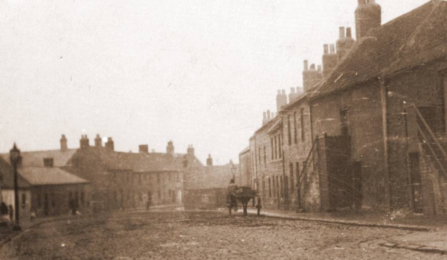
An early 20th century photograph of Low Greens © Berwick Record Office BRO-515-398